Day 3 : Nancy to Strasbourg
Geographical Points
North : Nancy
East : Strasbourg
South : Strasbourg
West : Nancy
I reviewed my Garmin as my previous routes had some poor tracks on them and sure enough my route had problems so I created an alternative if there was a problem - as I suspected the alternative was needed so the stats are in 3 parts as I ended up following 3 routes.
 |
| 0 - 40 Miles : Nancy to Rechicourt le Chateau |
Day 3 Stats
Distance = 100.41 MilesTime = 08:15:36 hrs
Ave Speed = 12.16 mph
Elevation = 2272 feet
Max Height = 1093 feet
Min Height = 442 feet
Calories = 5416
Max Speed = 27.6 mph
Tour Stats
Distance = 325.87 miles
Time = 25:44:11 hrs
Calories = 17156
Elevation = 8933 feet
 |
| 40 - 70 Miles : Rechicourt le Chateau to Saverne |
 |
| 70 - 100 Miles : Saverne to Strasbourg |
I was up early and off into Stanislas Square to get some photos before I headed off to Strasbourg - the night before I had had an Italian sitting outside near the square and at 10pm a light show began which was set to music and projected animations onto the large ediface of the Grand Hotel.
The Square is perhaps 400 yards across and surrounded on all 4 sides by grand buildings and there are fountains and gates with gilded iron railings - in the centre of the square is a large statue of Stanislas and a mirrored hemisphere which provides a 360 degree reflection of the whole square.
I then headed off out of Nancy in a (yes you guessed) easterly direction and I was pleased to find a canal which was heading out of the City in my direction - it's a shame the canal path was being repaired after a mile and I found myself once again dragging my bike up a gravel bank and through some railings.
The canal path then ended & I found myself on a quiet road leaving the City then after a few miles it turned left and joined an altogether busier road heading toward Dombasle.
I could see a large church or abbey off to the left as the wagons continued to hurtle past me and slowly in the distance an Industrial landscape was revealing itself - I could see large towers and plumes of smoke & steam ahead and a large chemical plant emerged - I found myself actually cycling along a road running between huge furnaces and coal silos on one side and large square plant & office buildings on the other.
I sort of guessed why there were so many wagons going past - anyway I negotiated the busy road whilst noticing some cyclists following the river on a quiet cycle path which I obviously missed as I crossed the river earlier. The road turned left after the factory & I stopped at a newsagent to get some drinks & energy bars for the day.
The view back to the plant looked down the river and was almost quite pleasant.
I folllowed my insticts not the garmin and went through a back lane to find a footbridge which allowed me access to the cycle path - unfortunately it ended at the bridge on the other side - hmmmph !!!
Anyway quiet roads lay ahead and I once again found myself cycling alongside the nearby Canal du Marne Rhin - my route actually took me onto the towpath but here it was just a raised grass verge - I cycled about a mile along it but the nearby road was a better option. So I came off the towpath and just as I was about to join the road a car came so I stopped - as I tried then to rejoin the road i was in too high a gear and my right foot fell out of the cleat whacking my shin right down the pedal which has serrated edges and my shin was well and truly macerated.
Pretty soon I was at the Etang du Parroy which was flat calm like a mirror and looked beautiful in the morning sunshine. The scenery kept getting better after Parroy the road to Xures was a beautiful tree lined avenue which I tried to video but my camera stopped early.
I then followed quiet roads through Moussey and on to Rechicourt le Chateau where I switched to my alternative route upon finding that my original route wanted to take me along a high speed train line - there was a grit track along the side of the line but I'm pretty sure I wouldn't have been allowed to ride on it even if I fancied it .. which I didn't.
So my new route took me along a dead straight road through a forest to the town of Gondrexange where I once again found the canal and a sign about millions of euros they had spent on it ... and .... it had a fantastic brand new smooth towpath - whehey - here I go i though and as i cycled off down it ... it promptly stopped so I was back onto a road through Hemming and across the N4 motorway again and into Sarrebourg.
I saw a nice looking bar serving food outside but it didn't seem to have a massive menu so i cycled around town looking for alternatives and after 30 minutes went to the original restaurant which offered Pizzas which i do not like and have little nutritional value or Pasta. So I ordered pasta and got a large cool coke and after 10 minutes the waiter came .... to tell me there was no pasta .. Hmppphh !!
One slightly less nutritional salad later & I was off to tackle the hill out of Sarrebourg which after about 6 miles topped out at 1070 feet - I was in an affluent looking village called Arzviller and hoping to follow the canal all the way from somewhere soon to Strasbourg ... but where was the canal ?
I descended from the village took a left and followed the roda down a steep hill for a mile then suddenly the canal emerged out of a tunnel which ploughed through the hill I had just cycled over in much the same way it did yesterday near Toul. This time the tunnel looked to be a few miles long dark & mysterious but dead straight and a pin point of light could be seen looking through it to the far side.
I turned my back on the tunnel and cycled downhill through a beautiful gorge of high rocks and trees and old abandoned buildings and castles on high perches - this stretch I videod and the track down to Lutzelbourg was truly memorable.
From Lutzelbourg I followed the canal down through the gorge to Saverne at which point the canal opened out onto flat countryside and the last 20 miles seemed to go on for ever eventually.
I reached Strasbourg and the EU parliament building where I waited to cross the road at a traffic light - it turned green, I started to cross and a large black limo came round the corner and I had to beat a quick retreat to avoid a bureaucrat ending my European Tour early.
I followed my route into town avoiding the trams and I reached my hotel in good time at about 4:30
Route :
<
Photographs :
 |
| 0 miles : The reflected image of Stanislas Square looking into the mirrored hemisphere set nearby the statue of Stanislas who you can see top right above my paniers. |
 |
| 0 Miles : Stanislav Square in Nancy and this is Stanislav but I didn't fall for it - he wasn't pointing the way - he's pointing North West and I was heading off East ... Again. |
 |
| 0 miles : One of the fountains & gilded gates in the corner of the square. |
 |
| 10 Miles : The huge abbey at St Nicholas le Port seen from the Road into Dombasle |
 |
| 12 Miles : A view of the chemical plant at Dombasle sur Meurthe looking along the river. |
 |
| 12 Miles : The Chemical Plant at Dombasle sur Meurthe |
 |
| 24 Miles : The Etang de Parroy was dead calm and reflected the beautiful blue sky reflected like a mirror |
 |
| 28 Miles : This is the road to Xures and it was one of the best stretches of the day being lined with trees, surrounded by great countryside and very smooth - I even video'd a bit. |
 |
| 37 Miles : Rechicourt le Chateau and a large castle like building opposite Arsene Wengers garage ! |
 |
| 37 Miles : Still in Rechicourt le Chateau this appears to be Arsene Wengers car ... And I could just imagine him in it ! |
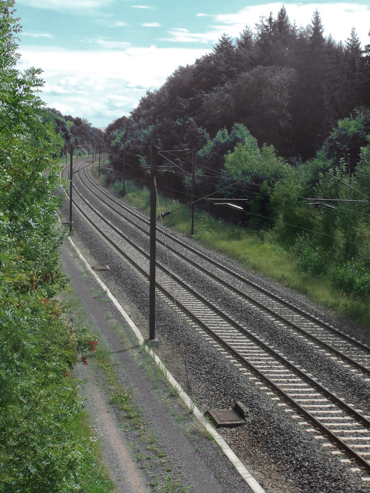 |
| 40 Miles : Just outside of Rechicort le Chateau my route took me here ! Yes I was being routed along a train line by my garmin and whilst there is a track alongside I didn't fancy it so I loaded my back up route & headed for Sarrebourg whereI could also get Lunch. |
 |
| 52 Miles : A nice sculpture & fountain and I got my eye on the Heineken Bar in the distance - shame they'd ran out of pasta and I was too dehydrated to try a Heineken So it was a salad and Cola for me today. |
 |
| 59 Miles : After a tough ride climbing 400 feet from Sarrebourg I reached a small village called Arzviller - I was closing in on the Cnal du Marne Rhin and after a thrilling 1 mile descent I reached the canal and realised why I hadn't joined it earlier - Whilst I went over the hill the canal went straight through it You can just see light at the far end a few miles away. |
 |
| 64 Miles : I had found a fantastic cycle track through a fantastic gorge which ran close to the canal through rocks and trees and abandoned houses and I reached the stunning village of Lutzelbourg. |
 |
| 66 Miles : Just past Lutzelbourg I continued down the gorge following now the canal tow path and suddenly ... Barges and castles The scenery just kept getting better & better. |
 |
| 67 Miles : Further down the canal heading towards Saverne and my bike was going a lot faster than this boat |
 |
| 98 Miles : The European Parliament building in Starsbourg This is where the Brussels bureaucrats relocate to occasionally at vast taxpayers expense no doubt |
No comments :
Post a Comment